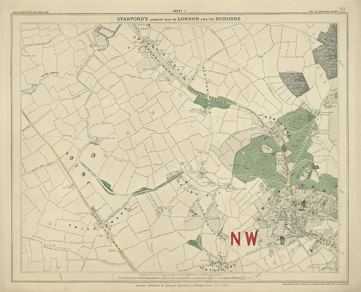
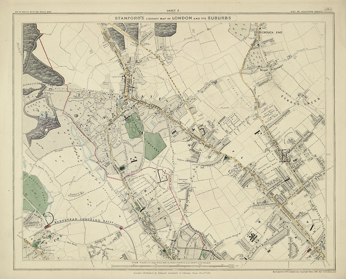
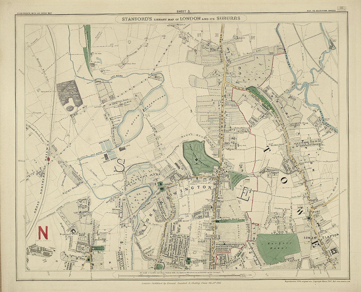
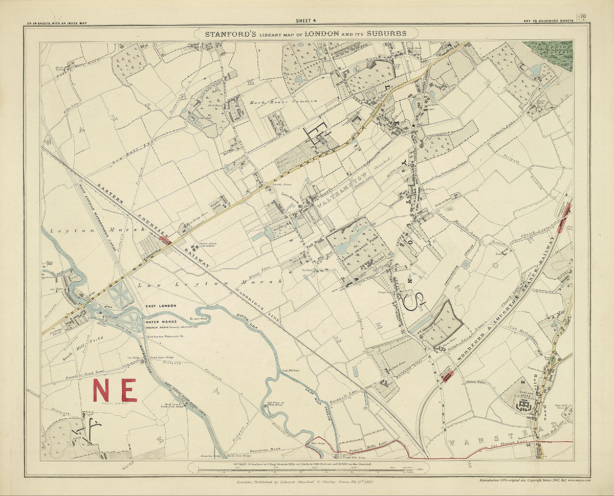
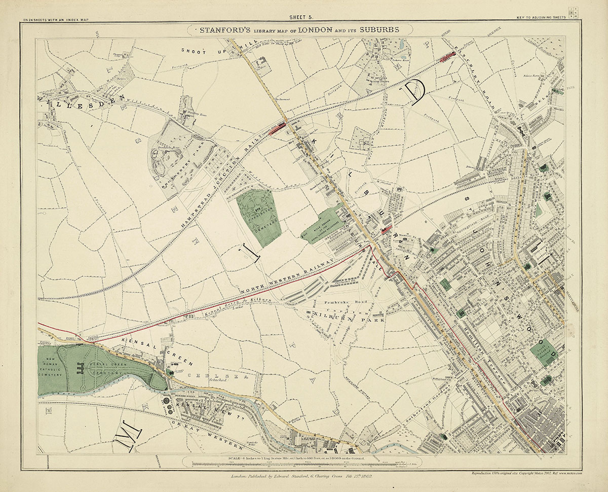
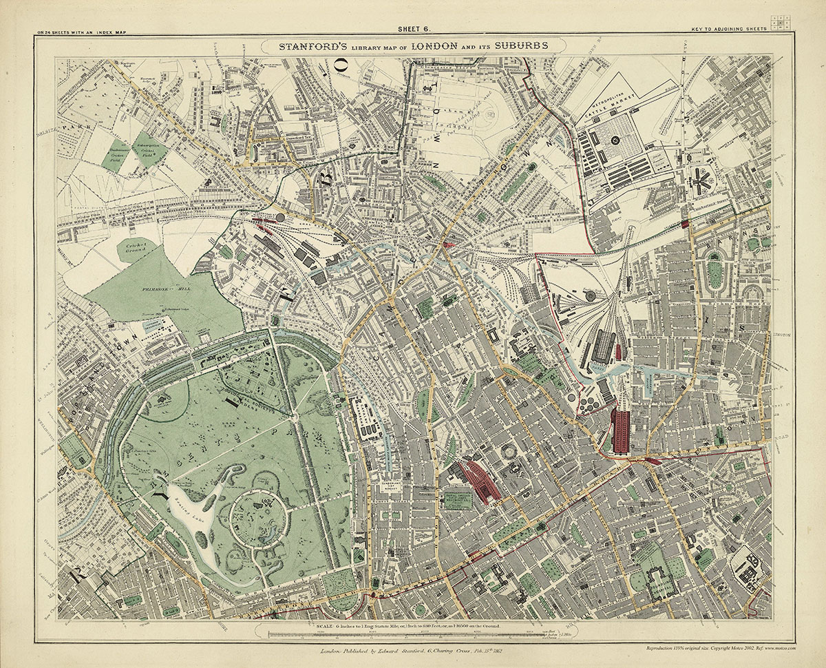
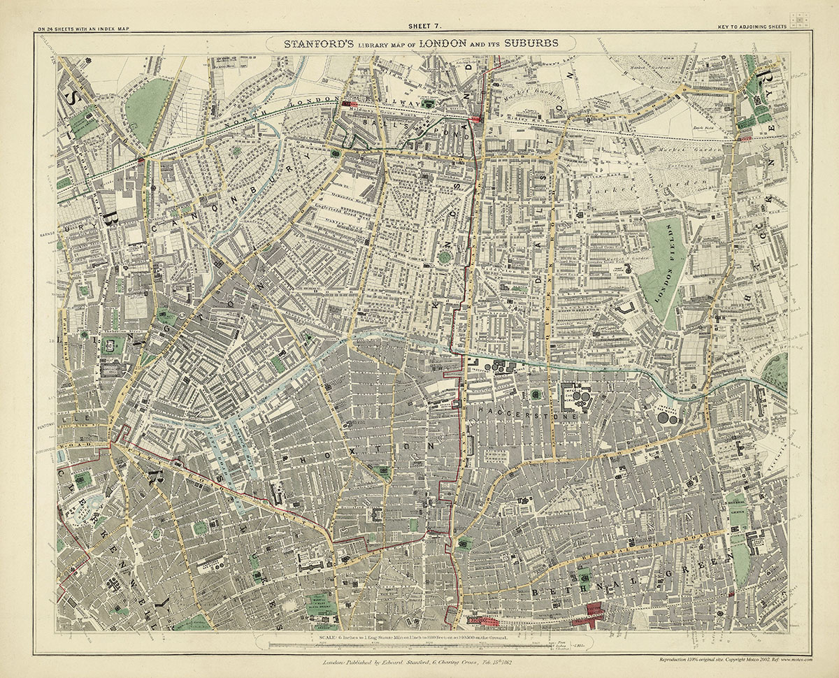
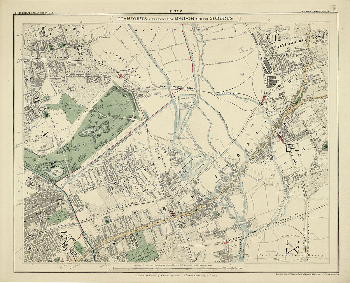
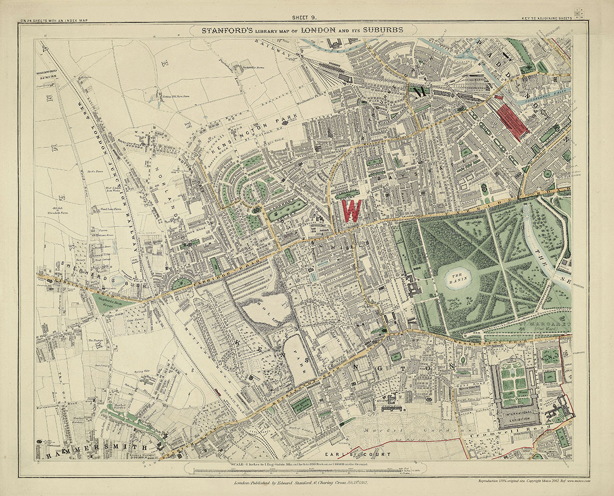
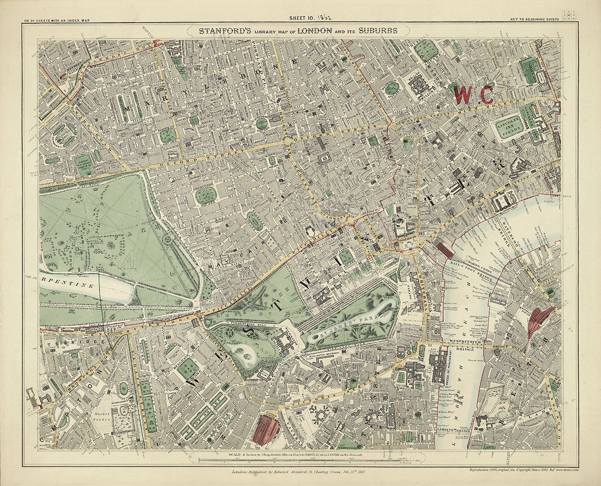
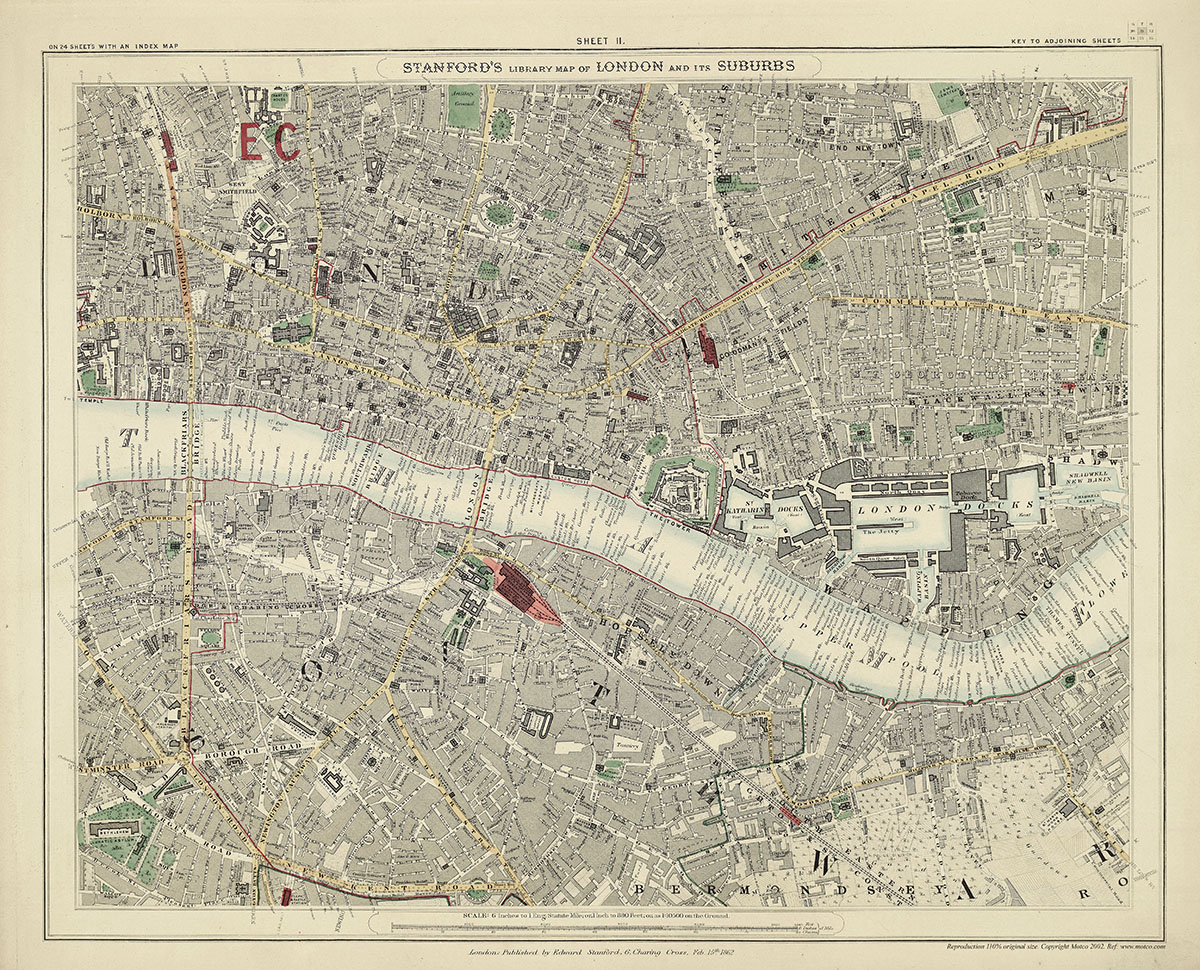
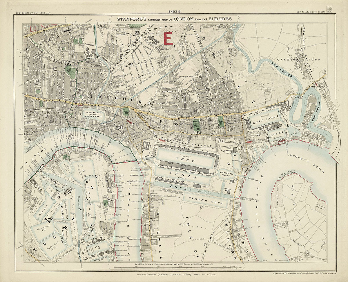
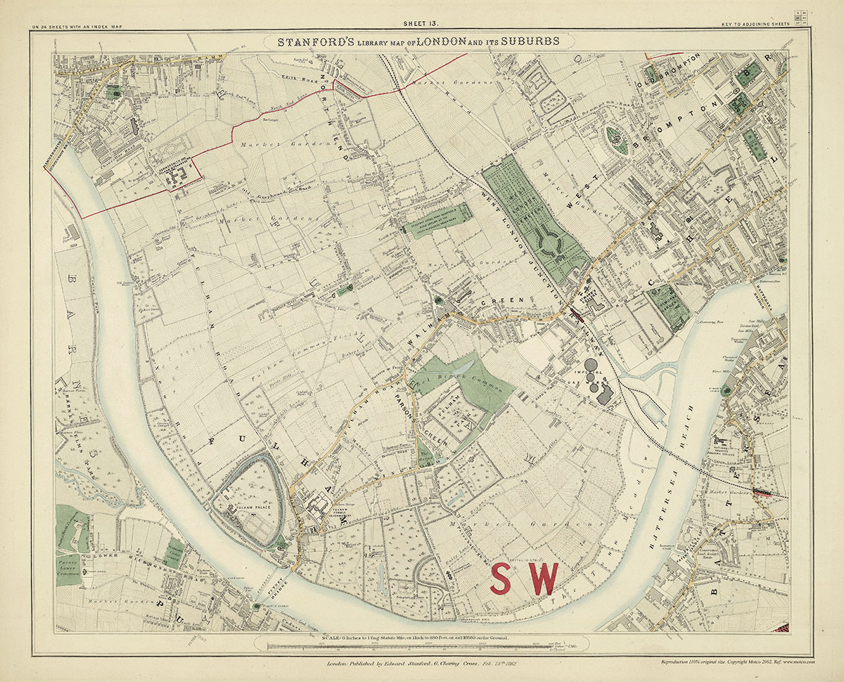
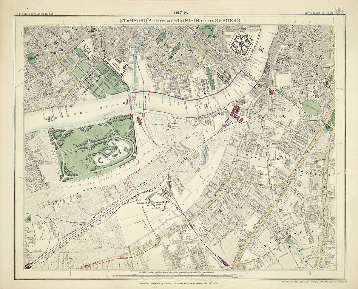
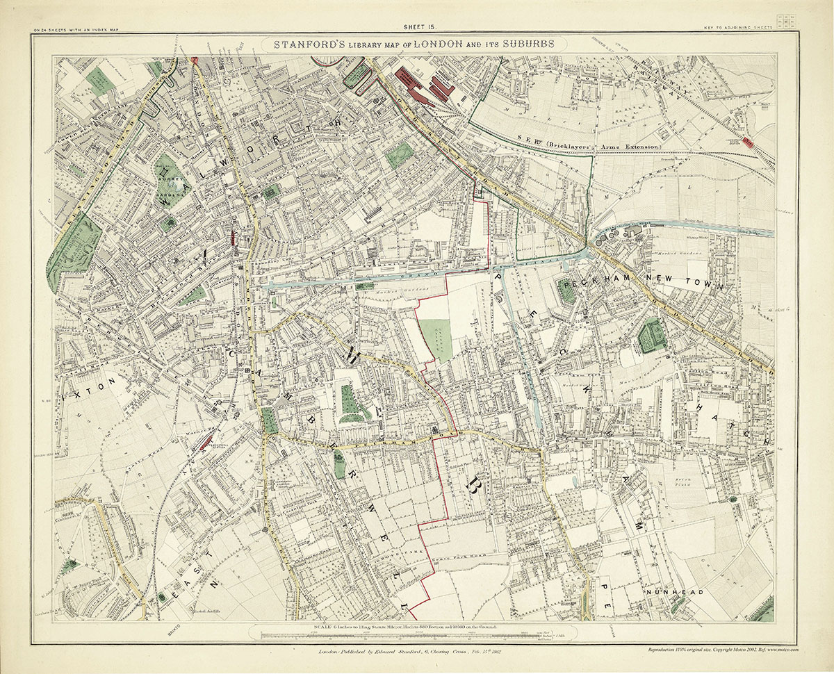
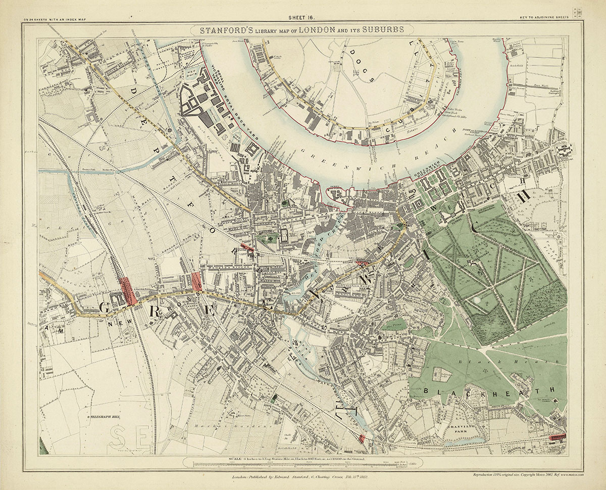
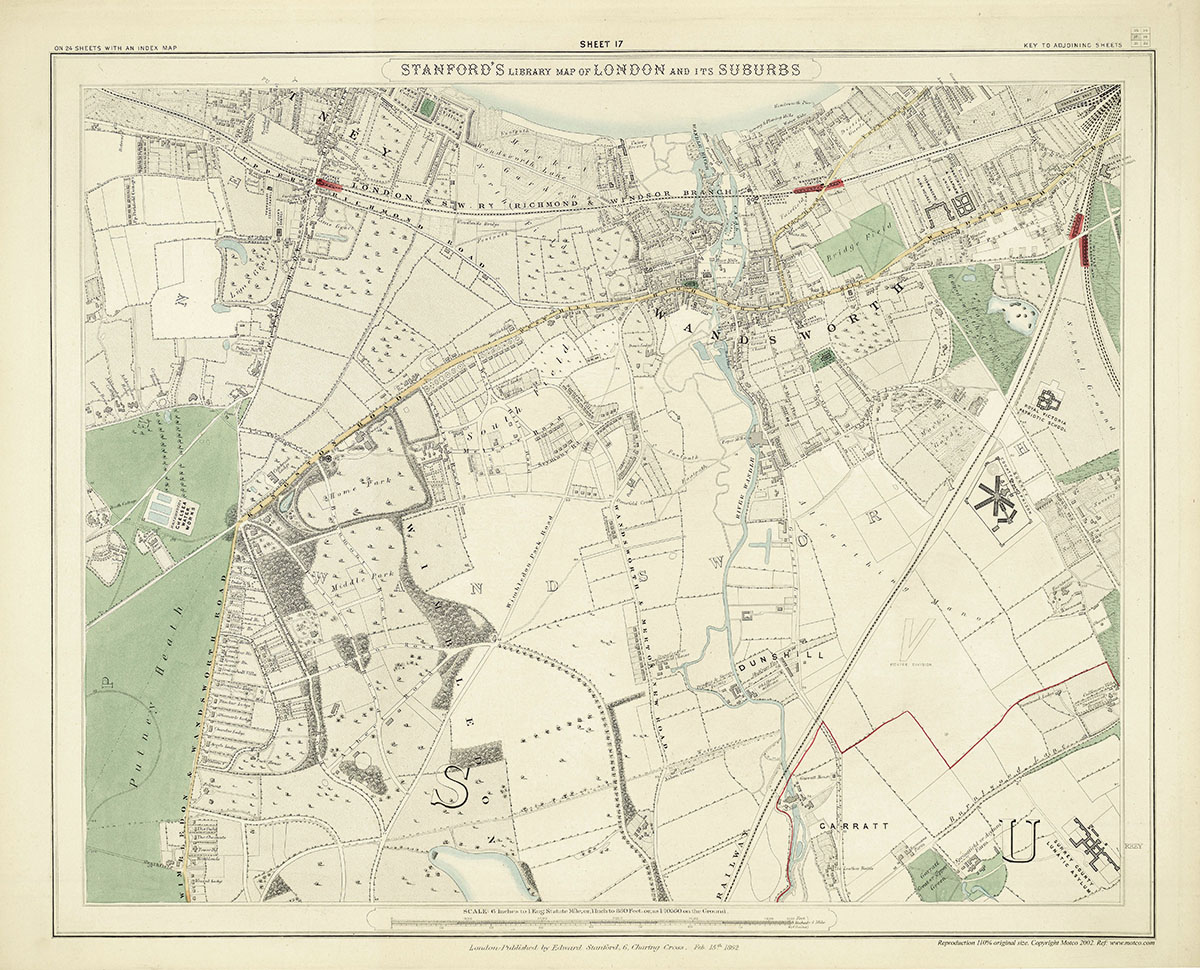
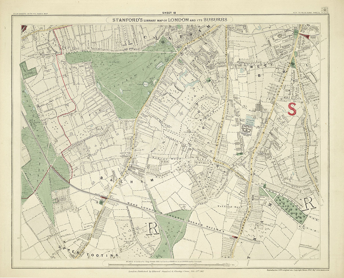
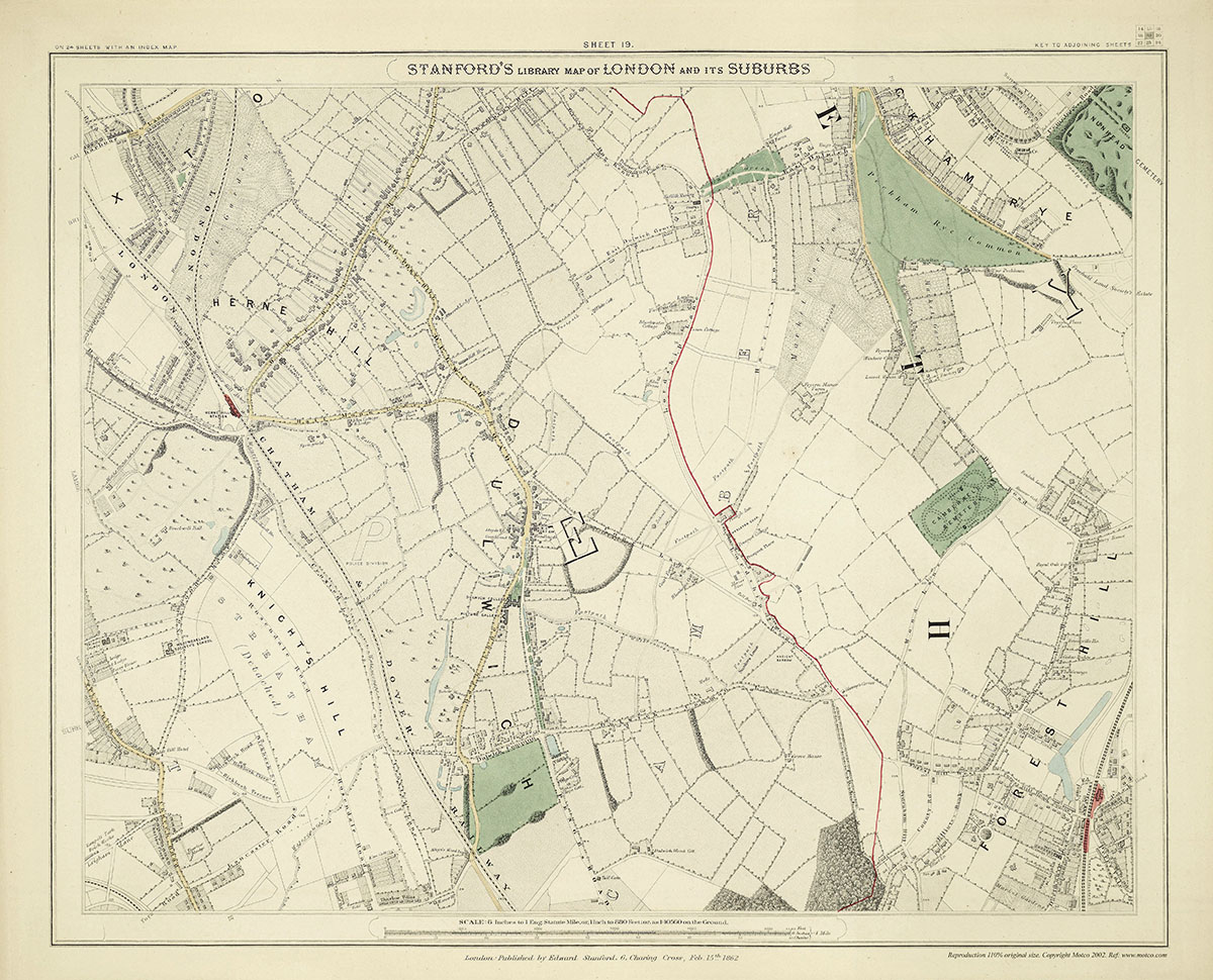
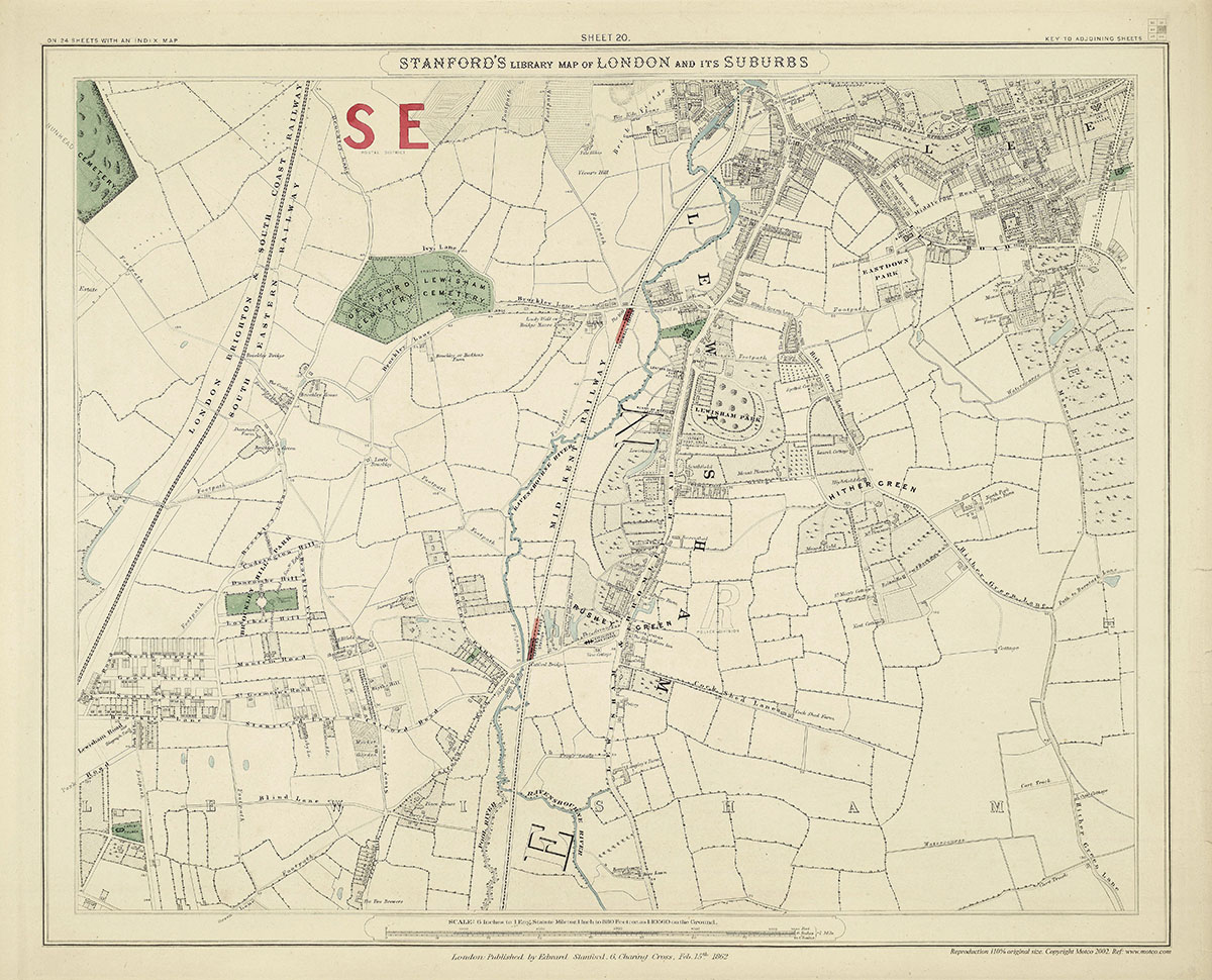
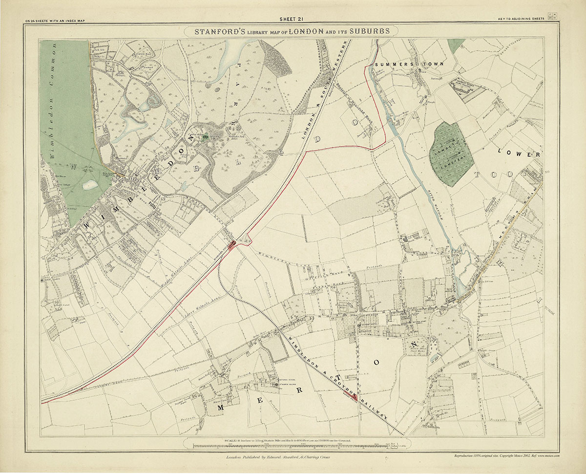
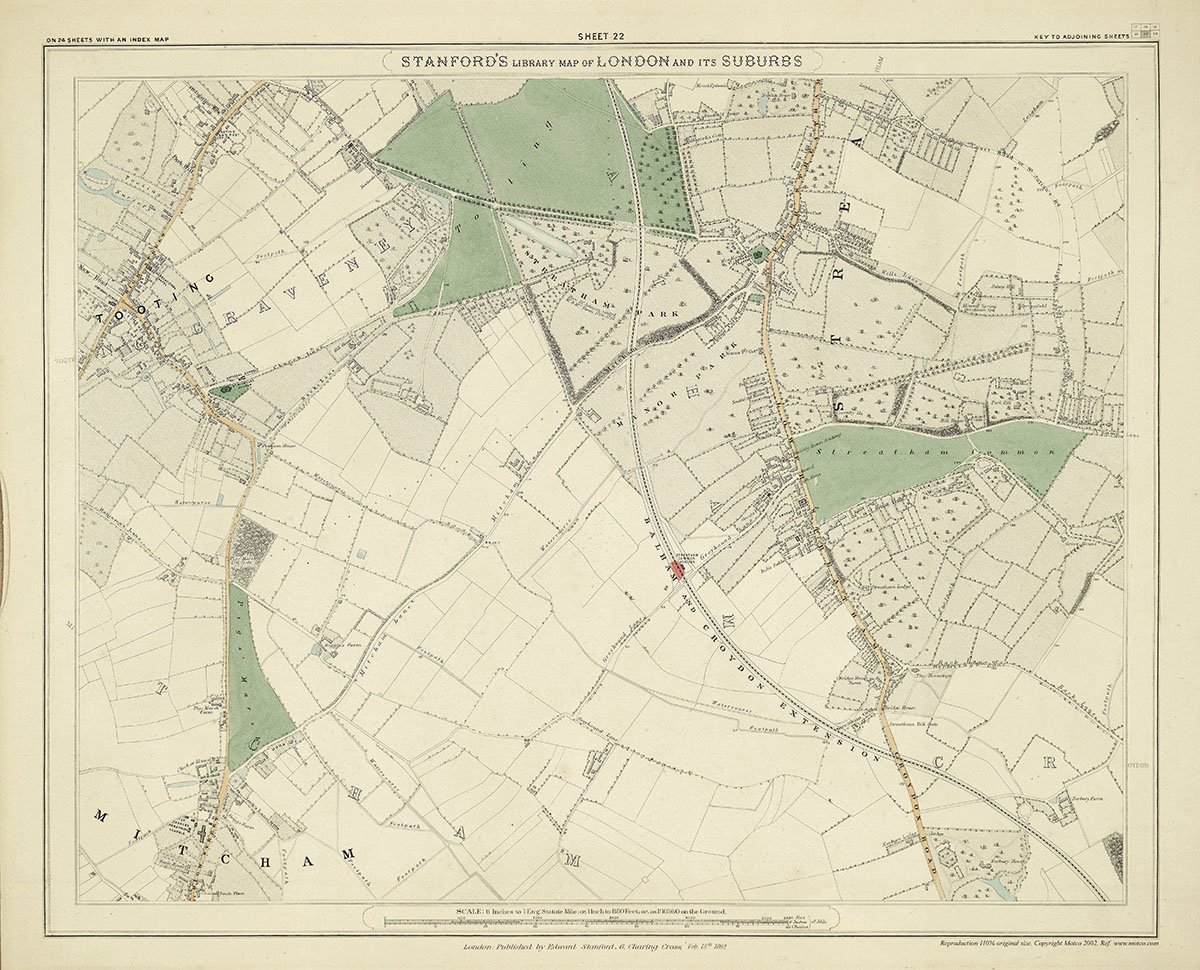
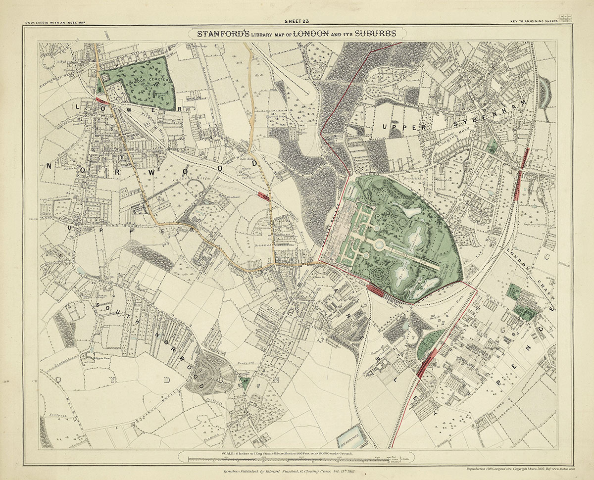
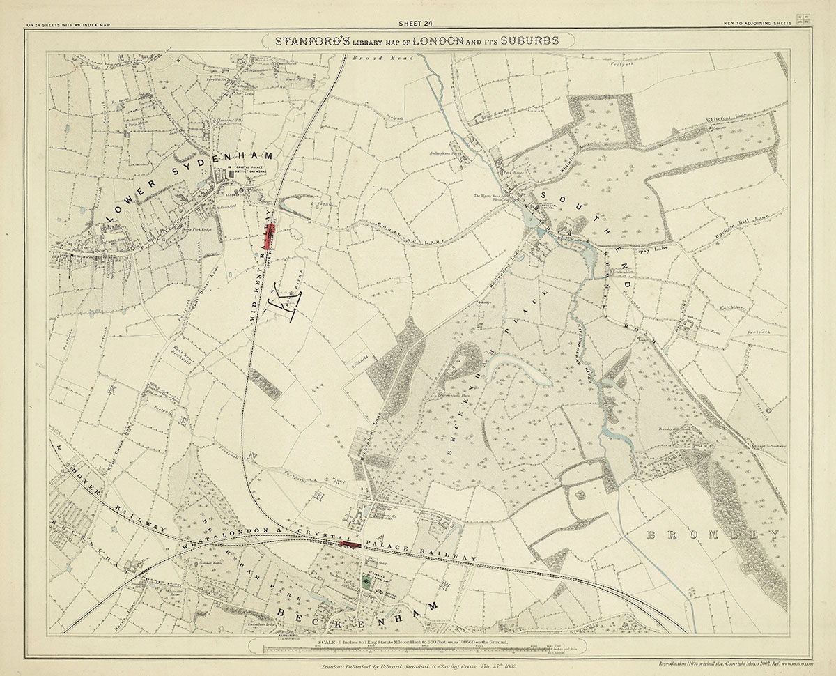
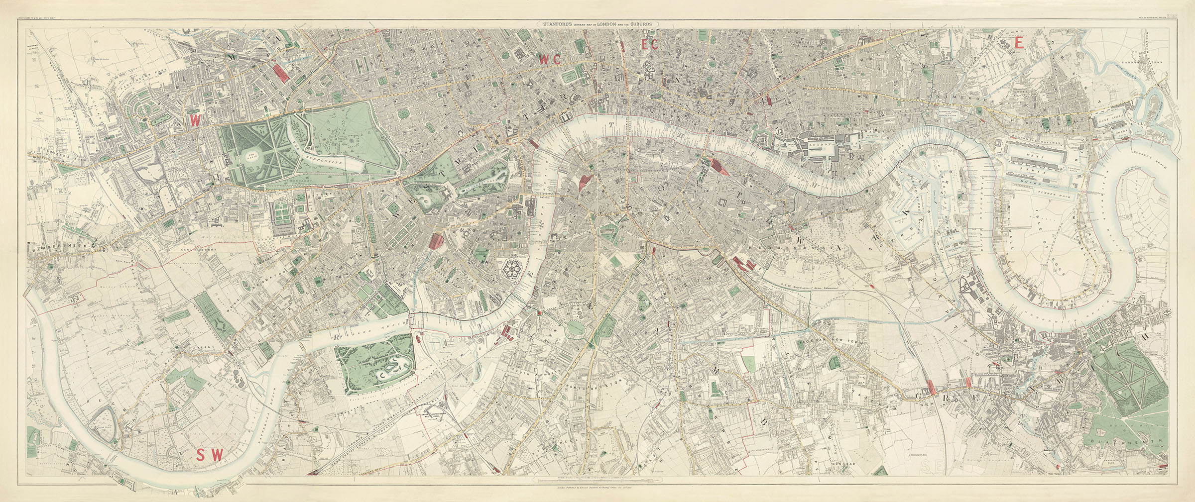
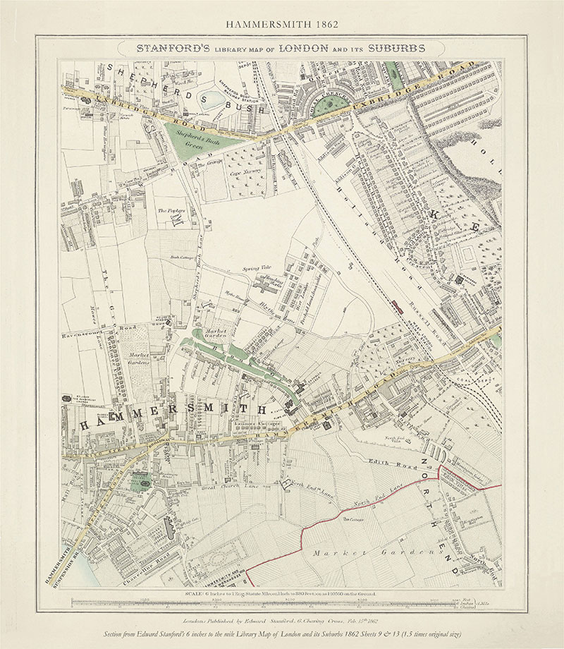
Edward Stanford’s remarkably detailed 6 inch to the mile Library Map of London & Its Suburbs was first published in 1862, the year of the International Exhibition, where Stanford was awarded a medal by the the jury for the beauty and accuracy of his maps. These reproductions are examples of that first edition. It was engraved on 24 steel plates, with hand applied watercolour, and published as individual sheets in a portfolio with an overview index map.
When you hover over a map, click the magnifying glass icon to enlarge the map, and click the link icon to go to the buy now page.
At present we are unable to despatch maps but you may place back orders and we will arrange delivery or collection when the shop reopens.