Edward Stanfords 1862 maps of London

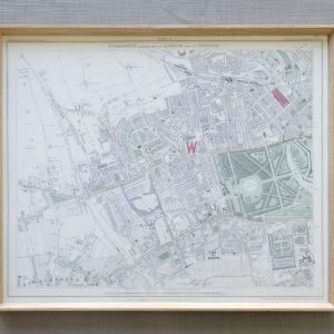
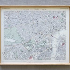
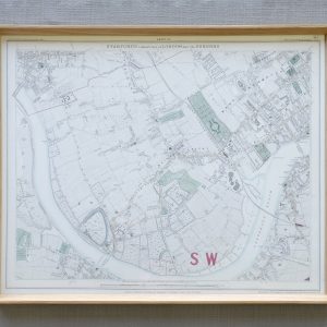
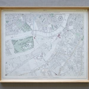
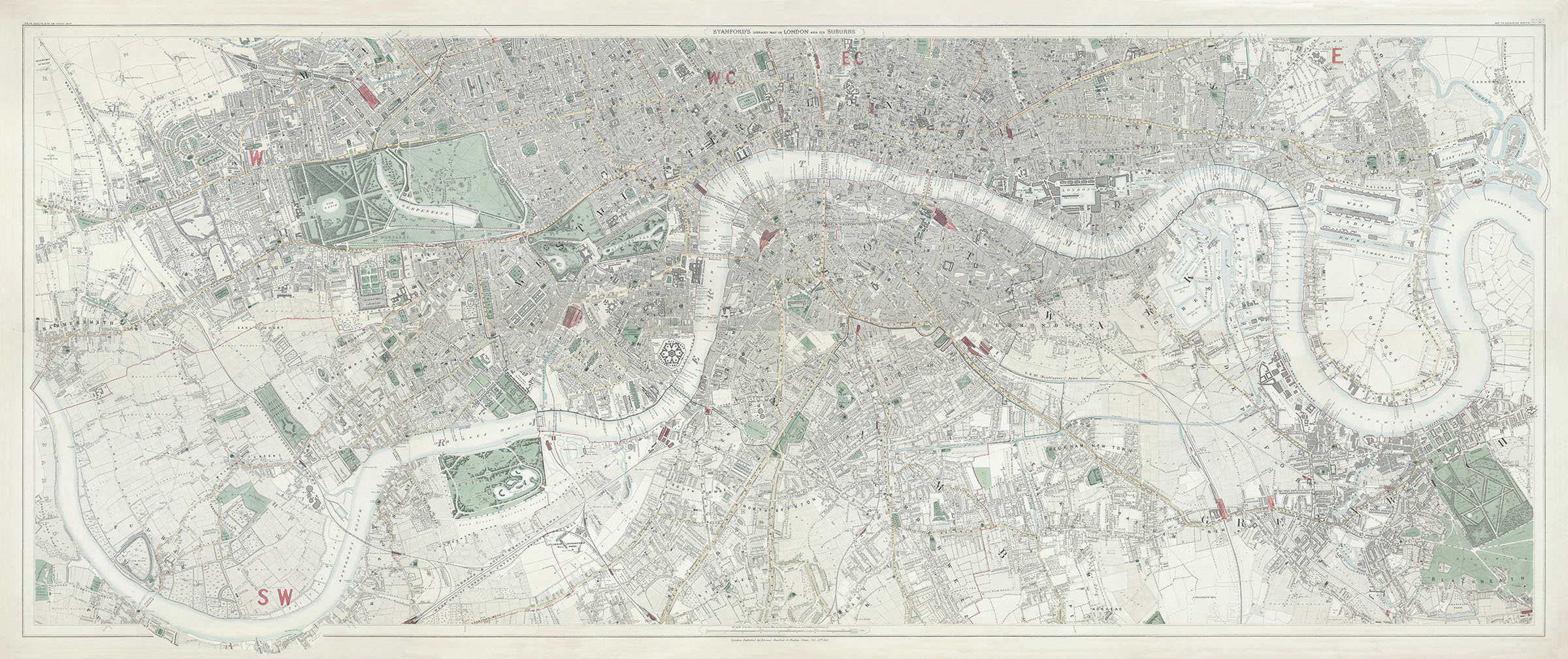
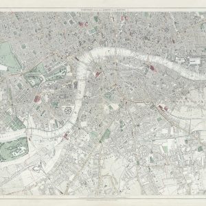
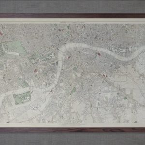
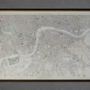
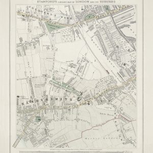
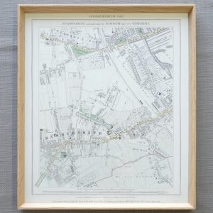
Edward Stanford’s remarkably detailed 6 inch to the mile Library Map of London & Its Suburbs was first published in 1862, the year of the International Exhibition, where Stanford was awarded a medal by the the jury for the beauty and accuracy of his maps. These reproductions are examples of that first edition. It was engraved on 24 steel plates, with hand applied watercolour, and published as individual sheets in a portfolio with an overview index map.

We currently have the following maps for sale framed, if you are interested in any of the other maps please click the link below to view all 24 sheets.

PANORAMIC THAMES MAP

This panoramic Thames map is a composite of sheets 9 – 16 which traces the Thames from Hammersmith Bridge in the West to the East India Docks in the East.
There are 3 sizes available – small, medium and large

Custom maps

We created a custom Hammersmith map for our local customers at 1.5 times enlargement of the original maps.
If there is a specific area that you would like us to make a custom map from, please get in touch.

Scroll to Top